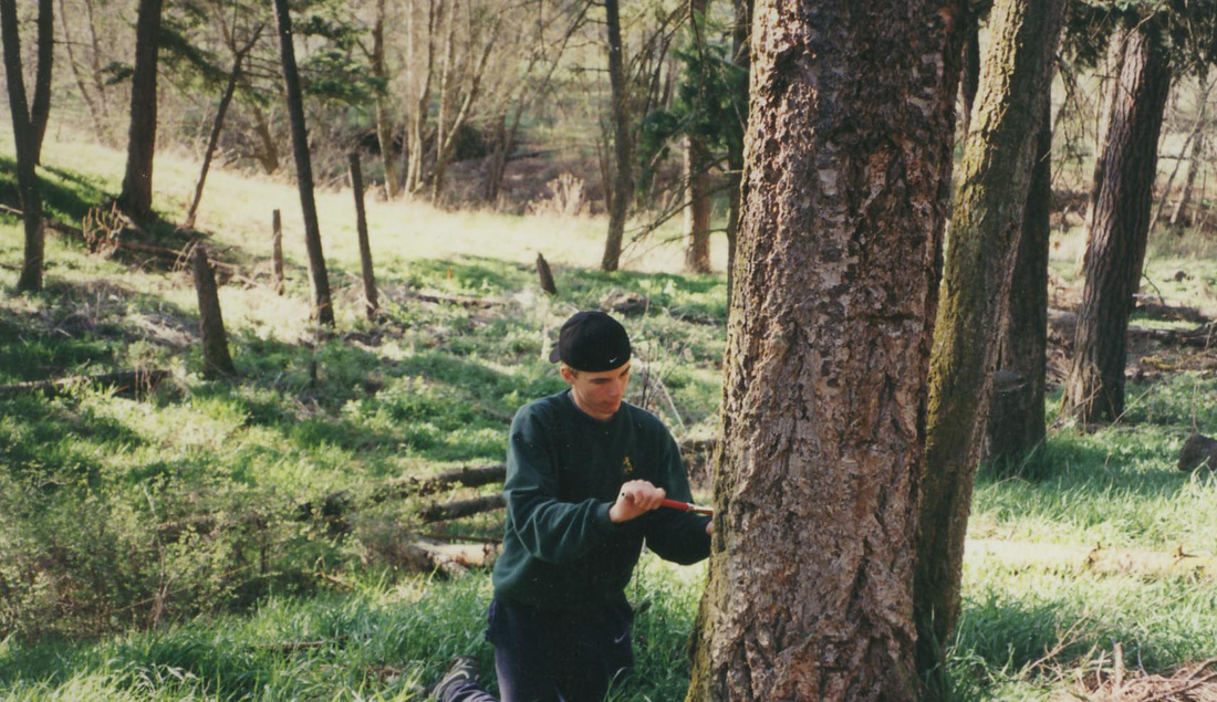
EMAN plot on SSI ecological reserve
Overview description: Environmental Monitoring Assessment Network (EMAN) is a set of protocols developed by Stanford University to study, over time, complex natural ecosystems. The initial plot involves surveying a 100 meter by 100 meter plot in a characteristic setting, then divide this block into 20 meter squares. These in turn are divided into 16 5 meter squares. ES 11 established, surveyed and marked out an EMAN plot on Mount Taun Ecological Preserve on Saltspring Island. Groups of students have been conducting a detailed analysis on a 20 x 20 meter plot each semester. These are divided into 5x5 meter plots and each student is giver a 5x5 meter plot to complete a detailed assessment. The assessment includes:
Mt Taum site record ( an example of categories included in the student data sheets)
Site description Azamuth Slope Participants, Plot description, UTM coord Site Tie point Date Aspect sample the average tree in plot
specific trees Species DBH Height Age Condition record, DBH, height, core sample, and condition check your study block
Course Woody Debris measurements along 20 m perimeter of your plot line
Dia count Ht from Gr count % bark count, % moss count 55-60 decay class count texture class texture class
Class 1- Firm, sound wood , Class 2 -Some softening, rotting, Class 3 - rotting , chunks break off, Class 4 - crumbles into chunks when hit, Class 5 - crumbles to dust or powder when hit
Fine Woody Debris Dia, n side e side s side w side
Lower Canopy Species % cover of total plot ave height
Shrubs
Ground Cover Plot 1(1-2) Plot 2 (25-26)
(include % Duff, Species % / sq m Species % / sq m Organic and Bare)
Soil Analysis thickness structure consistence texture colour moisture pH, Organic layer, O, , top horizon, A, changed soils, B, break parent, C, Canopy Density o-open, c-closed, Distance (m) Canopy (o/c) Distance (m) Canopy (o/c)
|
Community interest or concern
Duration of study and numbers involved This study has been ongoing for 14 years with some breaks in the analysis. It became apparent after a number of years that this second growth Douglas Fir stand had little or no observable regeneration. It was speculated that deer may be responsible, nibbling all the regenerating seedlings. We constructed a deer exclusion area ( a 12x12 x 7 high fence around a typical area to see if seedlings would regenerate within this protected space. Protocols followed and resources. Standard forestry protocols have been used in the analysis. Contact person and more detailed information Cate McEwan, Bob Sharp and members of the SSI Conservancy have coordinated efforts, Alain Dalaire, Kevin O’Connon, David Benton and teachers from Cowitchin Lake secondary have taken part in the ongoing analysis. We are about 75% completed the 20x20 meter square analysis. |
|
