|
Mapping a Cave for BC Forestry Services
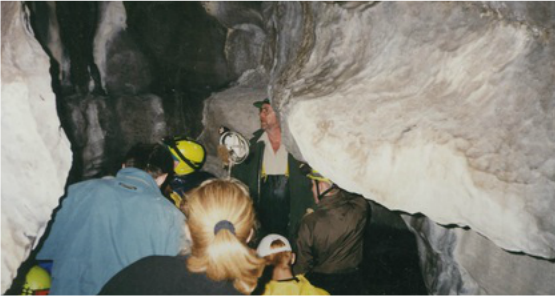
In the late 1990's the B.C. Forest Services operated a number of provincial forestry parks and were responsible for managing a number special natural features. Caves on Vancouver Island fell into this range of special features. The of Mapping of caves were part of the responsibility of the Campbell regional office. In 1998, the ES class was involved in mapping a cave system west of Campbell river that had been identified during a logging operation. The class used clinometers, tapes and compass to map 50 meters of cave showing the angles of decline, side compartments. opening and stream flow within the cave. |
|
