|
McIntyre Creek Proposed Subdivision
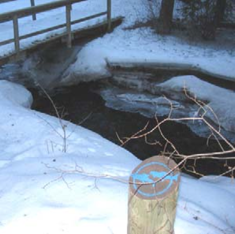
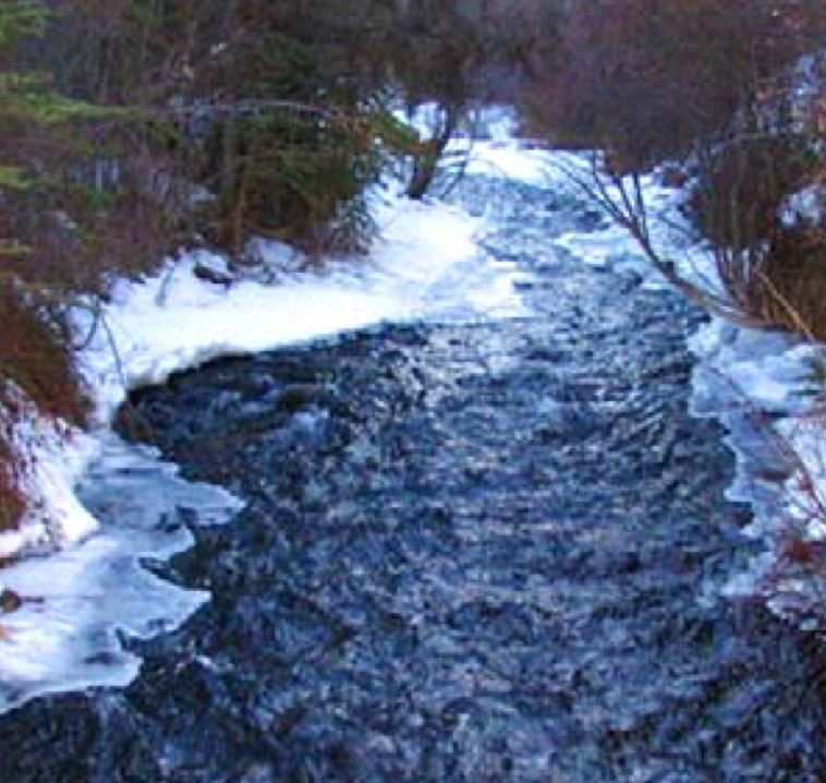
The City of Whitehorse is exploring changing sections of the McIntyre Creek Green Belt for a subdivision. This has been a conscientious proposal. In 1995, the City of Whitehorse completed an internal report identifying a number of potential areas suitable for additional residential development throughout city neighbourhoods. This is one of those locations. In adopting the 2002 Official Community Plan (OCP), City Council confirmed its support in principle to encourage infill development (Policy7.6.6)). The OCP identifies a site approximately 111 ha in size located south and east of Ponderosa Drive, west of Range Road, north of McIntyre Creek to Pine Street as suitable for detailed examination. The land east of Pine Street, across Mountainview Drive to the top of bank overlooking Range Road is presently identified in the OCP as Urban Residential while lands west of Pine Street are shown as greenbelt. The Zoning Bylaw shows the lands west of Mountainview Drive as Future Development and the land between Mountainview drive and Range Road as Undesignated Rural. After a reconnaissance level assessment of the local landscape, the planning team recommended the initial study area east of Pine Street be expanded to include another 43 ha presently designated greenbelt in the 2002 OCP. It was felt that certain lands west of Pine Street were more suitable for development than portions of the lands identified in the OCP. Any plans for development west of Pine Street would require an amendment to the OCP. |
|
Whitehorse City Council The Porter Creek D area was first identified as an area of potential development in 1994, and was listed as a potential development area in the 2010 Official Community Plan. Whitehorse has moved one step closer to developing the McIntyre Creek area. City council approved HB Lanarc’s $419,617 contract to do the planning and pre-engineering work for the Porter Creek D subdivision Monday. Those plans include the subdivision, road and bridge that will span the creek connecting Pine Street to the Alaska Highway.
Land tenure
Who owns the land in the McIntyre valley within the study area? Most of the land within the study belongs to the Yukon Government. More detailed descriptions of land surveys and land ownership can be shown as a layer in Google Earth. The cadastral data (property boundaries) can be downloaded so they show up on Google Earth. Follow these steps: 1 Go to the following web site. http://clss.nrcan.gc.ca/googledata-donneesgoogle-eng.php click on The Canada Lands overlay When the download begins, select Yukon, then select zone 8, then select 105D. Property boundaries will show up on your Google Earth image as you zome into Whitehorse. If you click on the button within a boundary, this will give you the plan information you will need if you wish to find out who the land belongs to. To find ownership, you need to take the plan information to the Court House, Land Titles, and ask for a search of the specific plan. This can not leave the counter, so take notes. The City has a planning responsibility that applies to all the area within the city boundaries, but that is different from ownership of the land.
Comments and Positions about the land management within the study area:
Yukon College positions:
Yukon College Chancellor Rolf Hougen The chancellor of Yukon College says a contentious tract of land in Whitehorse should be set aside for college expansion in lieu of a controversial new subdivision. Yukon College Chancellor Rolf Hougen says the area adjacent to the school would be a natural location for a Whitehorse university. (Yukon College) "We should be looking fifty years ahead, and the land that is now where the college is, is too small," said Hougen, adding that the Porter Creek D subdivision should be saved for a future university. "People who grow up in the Yukon, who love the Yukon, want to stay in the Yukon, they need training in order to make a reasonable living and it's a major contribution to the growth of the Yukon," he said. Hougen stressed that he is not speaking on behalf of the college, but noted its board passed a motion in September calling on the territorial government to give the land to the school. College president Karen Barnes College president Karen Barnes said she has since learned the land is likely going to the city. "I think maybe we're too late into that discussion, but I'm not prepared to say we don't need more land," she said.
