Caribou use of an area proposed for Development
ES 11 was made aware that a large scale gravel mining operation was proposed in an area thought to be used by caribou during the winter. ES students were asked to conduct an inventory of use based on track in the snow.
ES 11 was made aware that a large scale gravel mining operation was proposed in an area thought to be used by caribou during the winter. ES students were asked to conduct an inventory of use based on track in the snow.
|
Two group of four students ran parallel transects 400 meters apart. These transects intersected the area of the proposed development.
Students measured the transects using 100 m tapes. They recorded and mapped each caribou track that crossed the transect. They also recorded observed cratering and bedding locations within view of the transect. Both groups found no tracks within the first 300 meters of the Alaska Highway. After that point tracks became increasingly common, to the point that between 700 and 1500 meters, the ground looked like a barn yard. Students had difficulty identifying individual tracks from the many that intersected the transects. The groups identified 40 and 55 cratering sites respectively. |
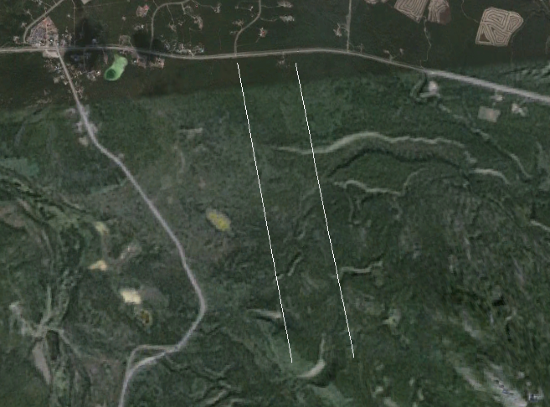
photo showing location and orientation of transects near the Carcross Cutoff.
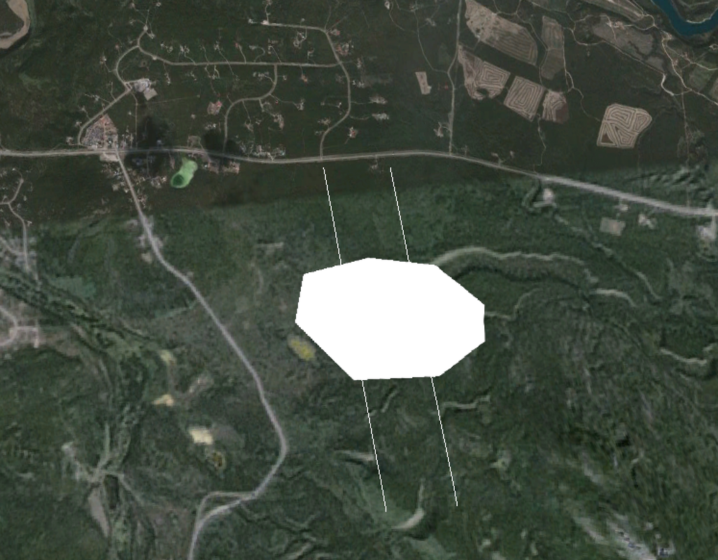
Photo showing the general area of the proposed gravel mining operation
|
